- Skills
-
GIS Software/Web: ArcGIS Pro, ArcGIS JavaScript SDK, ArcGIS Online, QGIS, Leaflet, PostGIS, ArcGIS Experience Builder and Insight, ArcGIS Story Map -

Programming: Python, SQL, JavaScript, HTML, CSS, Matlab -
Remote Sensing Software: ENVI, ERDAS IMAGINE, PCI Geomatica, Google Earth Engine (Beginner) -

AI & Analytics: Data analysis & visualization, machine learning & deep learning, Statistical analysis -
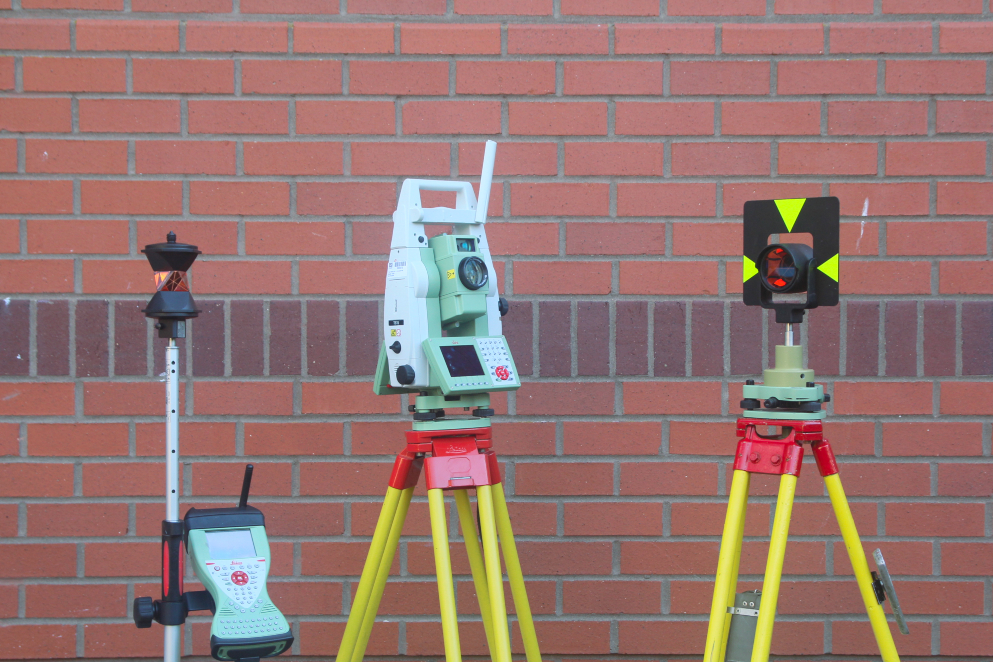
Data Collection and Processing tools: Total Station, levelling instrument, all GPS types, UAV, Laser scanners, AutoCAD, Civil 3d, Cascade 2000, Pix4d mapper, Surpac, Trimble business center
- Professional Experience
-
 Graduate Research Assistant (January 2023 - Present)
Department of Civil, Environmental,and Geomatics Eng., Florida Atlantic University
Boca Raton, Fl
- Developed an innovative approach that integrates GIS with hydrologic modeling to predict potential flood areas in Florida, based on FEMA methods.
- Conducted geospatial research and created high-quality maps, enhancing my lab’s capabilities in flood risk assessment.
- Leveraged high computation and regression analysis to model groundwater behavior, which significantly improved the accuracy of flood risk predictions.
- Created Python automation codes (model builder & tool development) which reduced the geoprocessing time by 50%.
- Produced a comprehensive flood risk reports, effectively presenting the project's findings to stakeholders.
-
 Surveyor (Nov. 2022 - January 2023)
Denys Engineers
Accra, Ghana
- Spearheaded the creation of a highly accurate DEM for underground pipe installation using drone and survey-grade GPS.
- Designed accurate road alignments and profiles by utilizing GPS data in AutoCAD.
- Established Ground Control Points (GCPs) for all survey activities, facilitating consistent and precise data collection.
-
 Mining Surveyor (Sept. 2020 - August 2021)
AngloGold Ashanti, Iduapriem Limited
Tarkwa, Ghana
- Utilized Surpac, Civil 3D, and Datamine software to design mine ramps, drill and blast layouts, and calculate material volume from mining operations, resulting in significant operational improvements.
- Skillfully conducted ore mark-out surveys, pit surveys, and contributed to boundary and farm demarcation, enhancing the efficiency and accuracy of mining operations.
- Employed UAV technology to document internal and external engineering projects faster, demonstrating adaptability and embracing modern surveying techniques that saves both engineers and surveyor’s time and money by 30%.
- Effectively used project management tools to control 60% of all GIS works within the Mining Department (coordinate systems transformation, spatial data processing and analysis, data management, geodatabase creation, digitization of maps, and others).
- Collaborated with other departments such as geoscience, engineering, and sustainability as a way of building strong team work.
-
 Geospatial Analyst (Intern) (Jun. 2019 - Sept 2019)
Egso Company Limited
Tarkwa, Ghana
- Assisted a group of surveyors in collecting data, demarcation and setting-out of boundaries
- Produced site plans and cadastral plans for clients utilizing AutoCAD.
- Created a Utility map for Tarkwa Nsuaem Municipal using ArcMap
- Finished a project on Land Surface Modelling
- BootCamps and Presentations
-
Made a presentation at the South Florida GIS Expo, 2023. My presentation can be accessed:here
- Using deep learning to automatically detect building damages from high resolution remotely sensed images
- Undertook practical courses such as Understanding Machine Learning, Exploring and Analyzing Data in Python, Understanding Data Science, and more